Past Projects


Past Project
Digital Mapping for the city of Cleveland
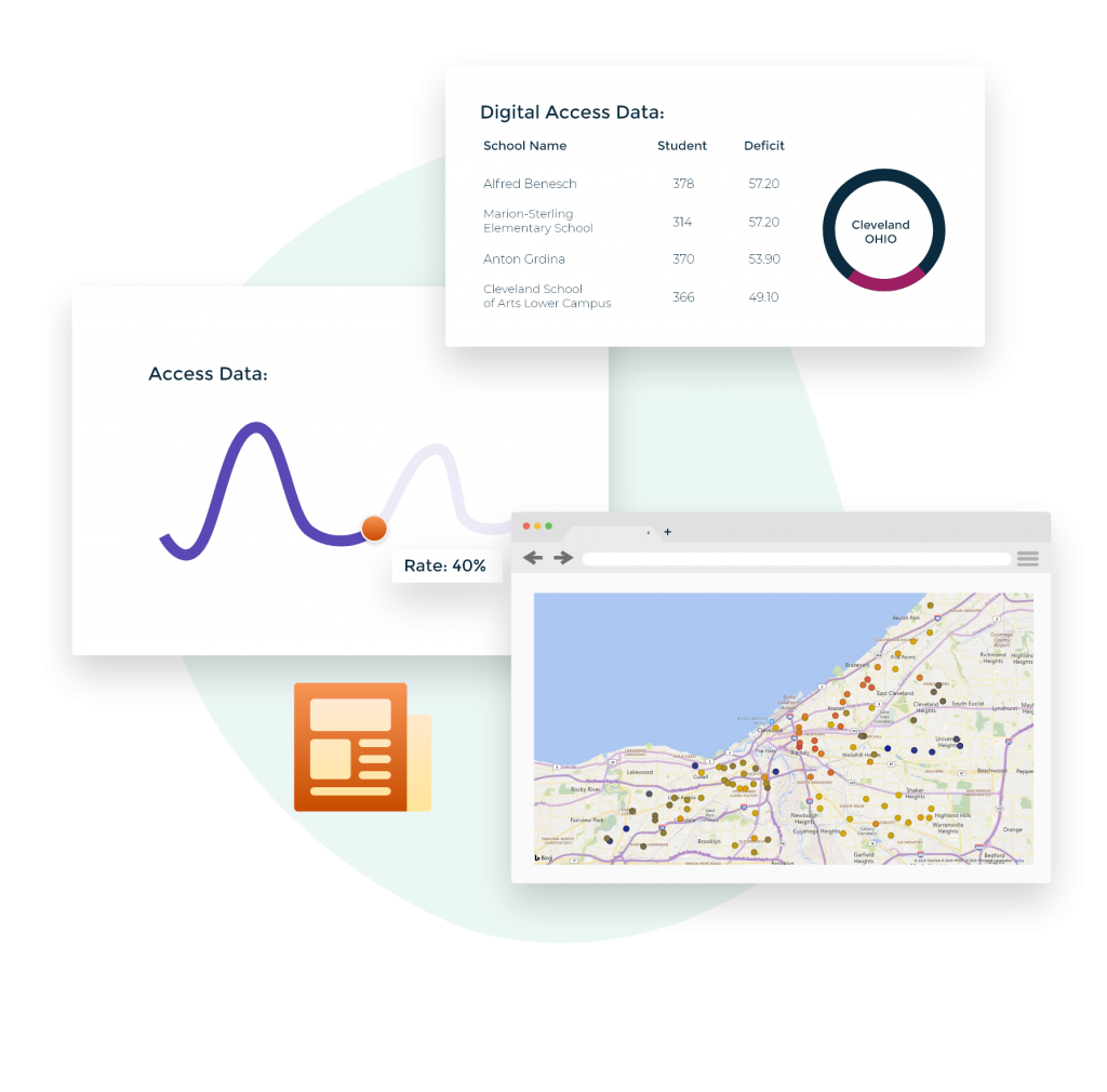
We began work on a map for the city of Cleveland with the focus on students in the Cleveland Municipal School District and the neighborhoods they live in. The discoveries made during this effort reflected what we say in Dallas as the poorest areas of the city, majority black, and densely populated were highly correlated with low rates of broadband subscription. The error made by policy makers was not taking the level of detail into account when performing their analysis. Using American Community Survey data from Census Bureau and focusing at the tract level showed the true deficits in access to affordable internet. Rates that were at 40% for one level of detail rose to 70% when additional focus was placed at the sub-census-tract level (less than 0.9 square miles).
